
|


|
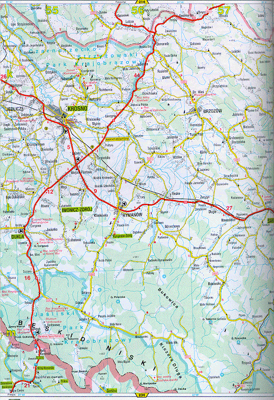
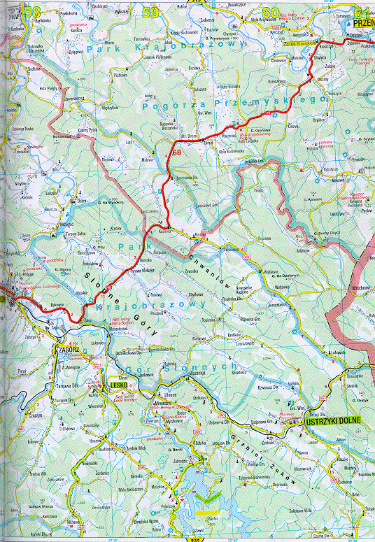
This map shows more of the region of Poland that my parents come from, including the local capital, Krosno (in the upper left-hand corner). Sanok is now at about the dead center of the two maps. The scale is the same: each box formed by the blue grid lines is about 12.2 x 18.6 km. Click on either half to see it full size.
These maps are from Polska Atlas Drogowy, GeoCenter, Warsaw, Poland (1997) pp. 226-227. [ISBN: 83-7129-295-3]
Thanks to Krzysztof Orzechowski for lending me the atlas!
Return to
my personal history.
Return to
Joe Strzalka's home page.